
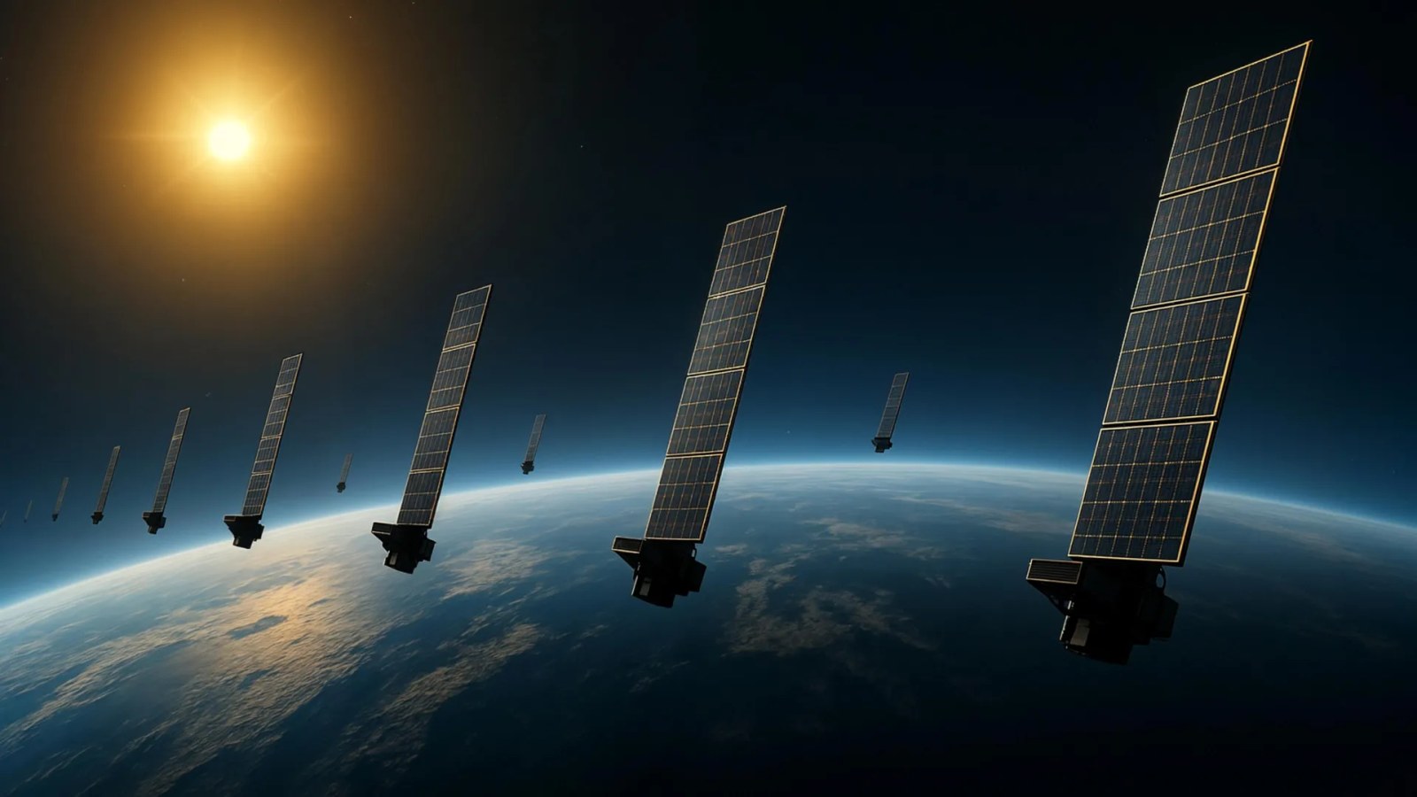
Scientists at Kyoto University have developed a new method for studying Earth’s upper atmosphere by using publicly available information from Starlink satellites, according to ScienceDaily.
The team applied a technique called tomography, which is often used in medical imaging, to estimate thermospheric density by tracking how satellite orbits slowly decay from atmospheric drag. In their analysis, they examined data from about 1,200 satellites flying at an altitude of 482 kilometers.
Using those measurements, the researchers created a two-dimensional snapshot showing how density varied across latitude and longitude at roughly 500 kilometers above Earth. The team says it is the first tomographic analysis of this kind, and the results matched well with observations from the European Space Agency’s SWARM satellites.
According to the study, the method could help improve predictions of satellite motion, which may reduce the risk of collisions between satellites and space debris. The researchers also say the approach could eventually support near-real-time monitoring of atmospheric density and aid future space weather forecasting.